
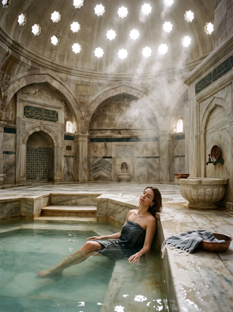
Düğüncüler Thermalquellen & Schluchthütten
Bubbling at 42°C on the shores of Cuma Dam beneath the Görecik Plateau in Büyükorhan, these sulfur-rich thermal springs feature rustic wooden cabins and pristine river canyon nature.
Düğüncüler Thermalquellen & Schluchthütten
Düğüncüler Thermalquellen & Schluchthütten 360° Virtuelle Tour & Earth 3D Station
Google Earth 3D-Telemetrie, Geländetopographie und 360°-Panoramen verfügbar. Erkunden Sie den Ort im 3D-Flug oder virtuell Schritt für Schritt.
Geheimtipp
"Soak in the 42°C sulfur mineral pools overlooking Cuma Dam and take scenic walks along the Görecik mountain plateau."
Natural Healing in the Mountains: Düğüncüler Thermal Springs
Nestled beside Cuma Dam in the remote Büyükorhan district, Düğüncüler Springs feature 42°C naturally warm sulfur and mineral waters celebrated for treating joint and skin ailments amidst virgin forest canyons.

Häufig gestellte Fragen (FAQ)
What is the water temperature and mineral profile?
The spring emerges naturally at 42°C, rich in sulfur, calcium, and bicarbonates known to benefit joints and skin.
Are cabins available for overnight stays?
Yes, rustic wooden mountain chalets with private thermal baths are available by advance reservation.
Is day-use available for the pools?
Yes, separate male and female communal thermal pools and private family baths are open to day visitors.
How are the road conditions?
The road from Büyükorhan town center to the thermal site is paved and accessible to regular vehicles.
Is dining available on site?
A local restaurant serves mountain stew, fresh trout, and traditional Turkish village breakfasts.
What should I bring?
Pack your own towels, slippers, swimming caps, and personal toiletries.
What is the best season to visit?
Autumn and winter offer the best experience soaking in 42°C water against cool mountain breezes.
How long does it take from central Bursa?
Approximately 1 hour and 30 minutes via the Orhaneli-Büyükorhan mountain road.
Besucherinformationen
Entdecken Sie Büyükorhan & Umgebung
Gastronomie, Reiseführer und aktuelle Highlights in Büyükorhan.
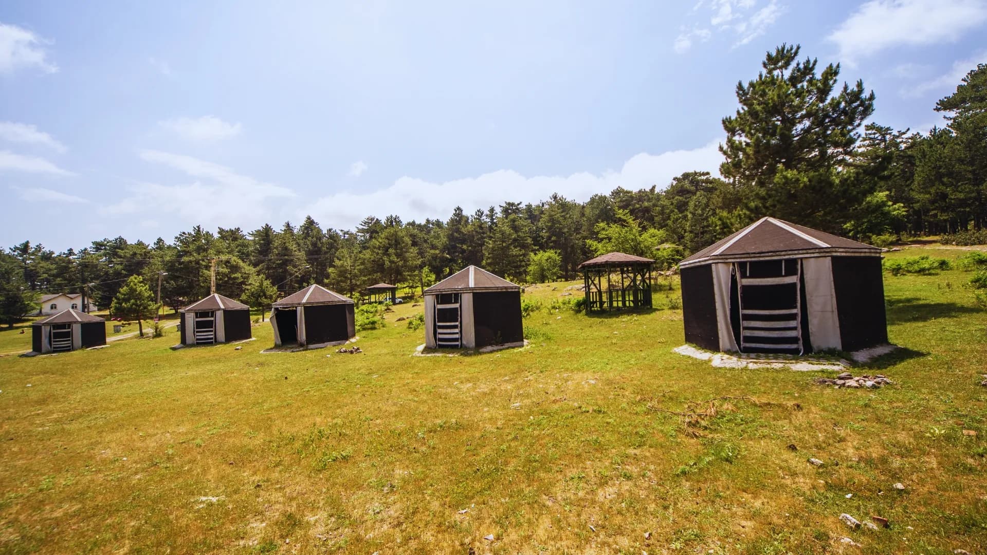
Büyükorhan Reiseführer: Görecik-Hochebene und historische Holzkirchen
Görecik-Hochebene unter uralten Kiefern, historische Holzmoscheen und traditionelle Tontopfgerichte.
Kulinarische Spezialitäten in Büyükorhan
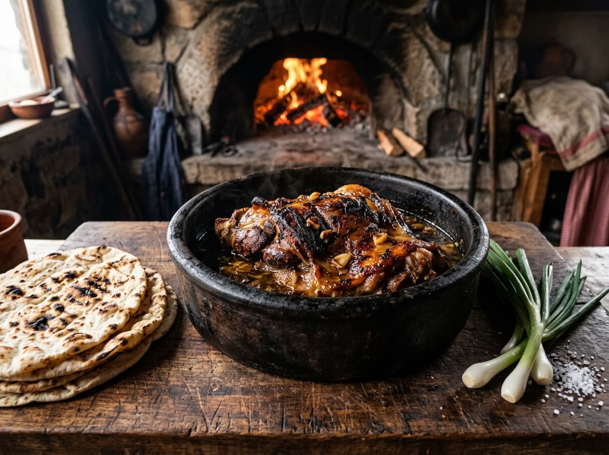
Büyükorhan Holzofen-Göveç
Büyükorhan Bäckereien und Markt-Gaststätten
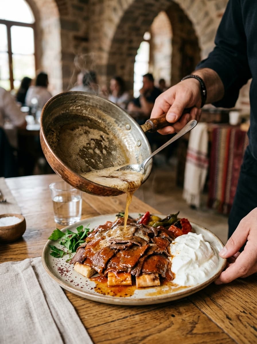
Bursa Iskender Kebab
Kebapçı İskender (Heykel), Kebapçı Hüseyin (Alacahırka)
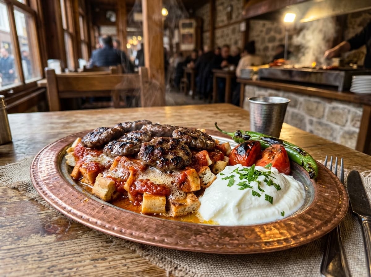
Pideli Köfte (Bursa Fleischbällchen auf Fladen)
Kayhan Basar Fleischereien
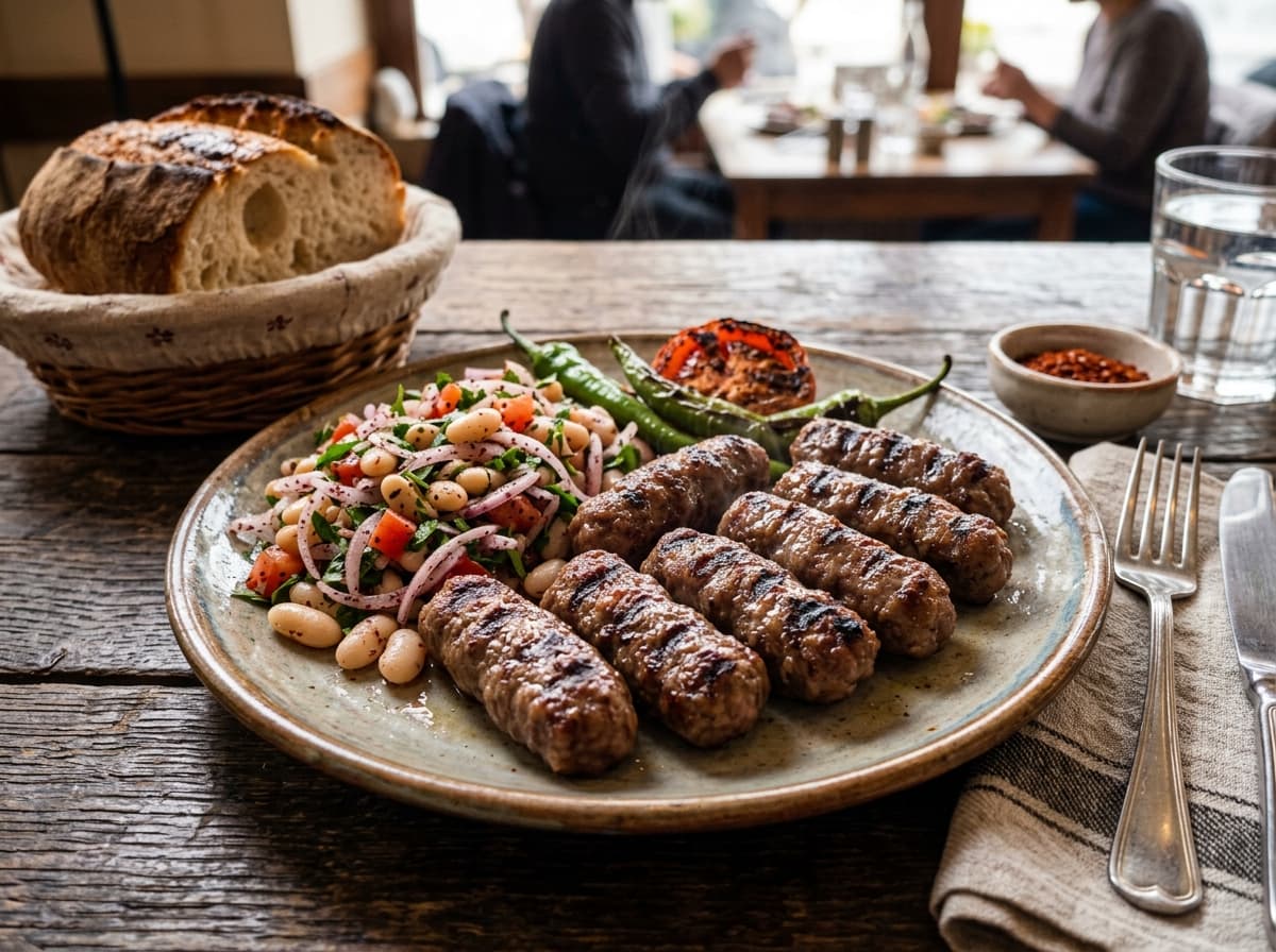
Original İnegöl Köfte
Besler Köftecisi İnegöl (seit 1893)


Besucherinformationen


In der Nähe
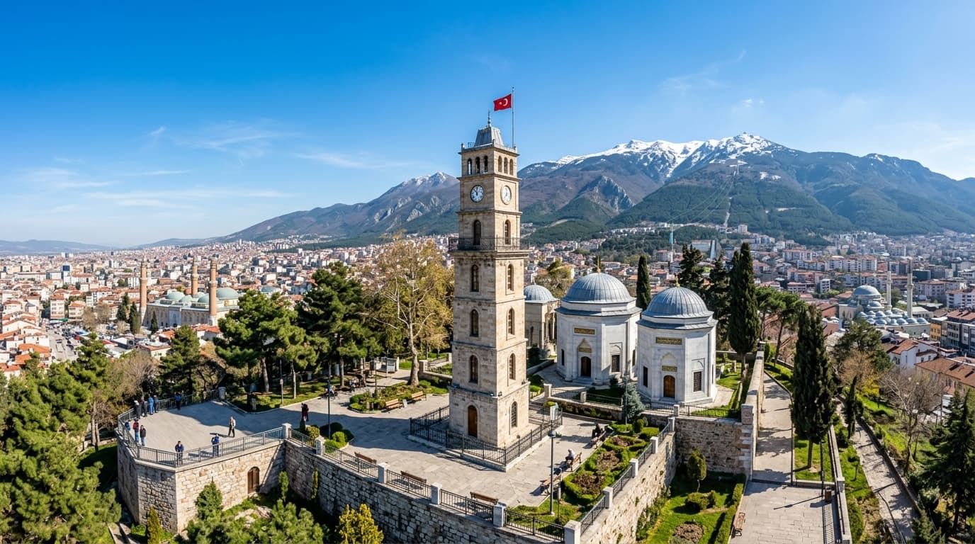
Mausoleen von Osman Gazi und Orhan Gazi
Resting side by side in Tophane Park, these tombs house Osman Gazi, founder of the Ottoman Empire, and his son Orhan Gazi, conqueror of Bursa. Featuring the Clock Tower, ancient ramparts, and hourly ceremonial Alp Honor Guard changes, it is Bursa's foremost historical shrine.

Gököz See & Naturpark (Gököz Natural Park)
Am südlichen Fuß des Berges Uludağ auf 1.120 Metern Höhe spiegelt der Gököz-See Pinienwälder und verschneite Gipfel wider. Mit Blockhütten, Reitsafaris, Kanufahren, Angeln und Berggastronomie ist er Bursas führendes Öko-Refugium für alle vier Jahreszeiten.
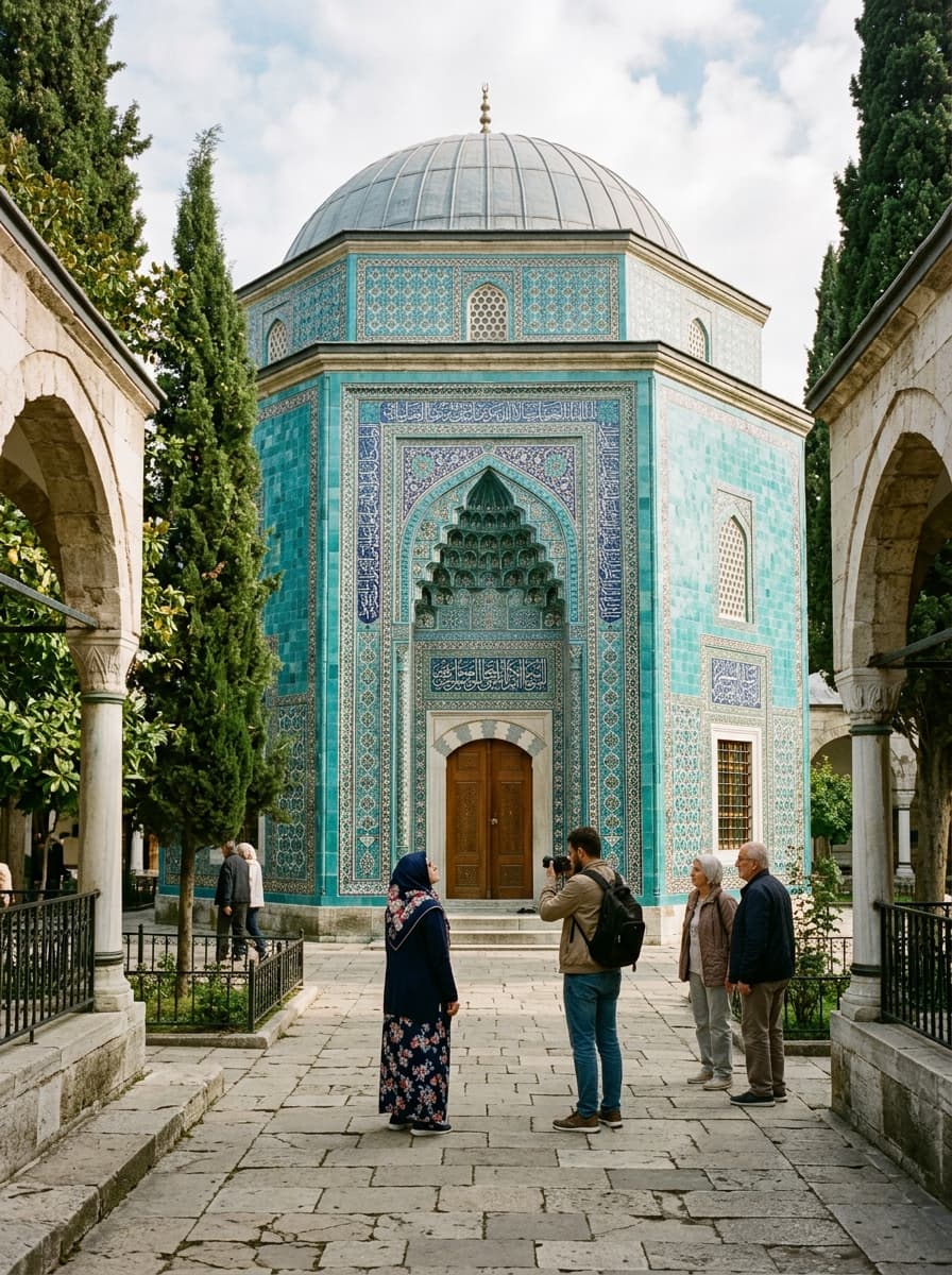
Murad I. (Hüdavendigar) Moscheekomplex
Built between 1365 and 1385 by Sultan Murad I, this is the only Ottoman imperial mosque featuring an integrated two-story madrasa above the prayer hall. Overlooking Çekirge, it houses thermal fountains and the tomb of the martyred sultan of Kosovo.